The Geological Trail
"Craigleith Quarry - Building the City"
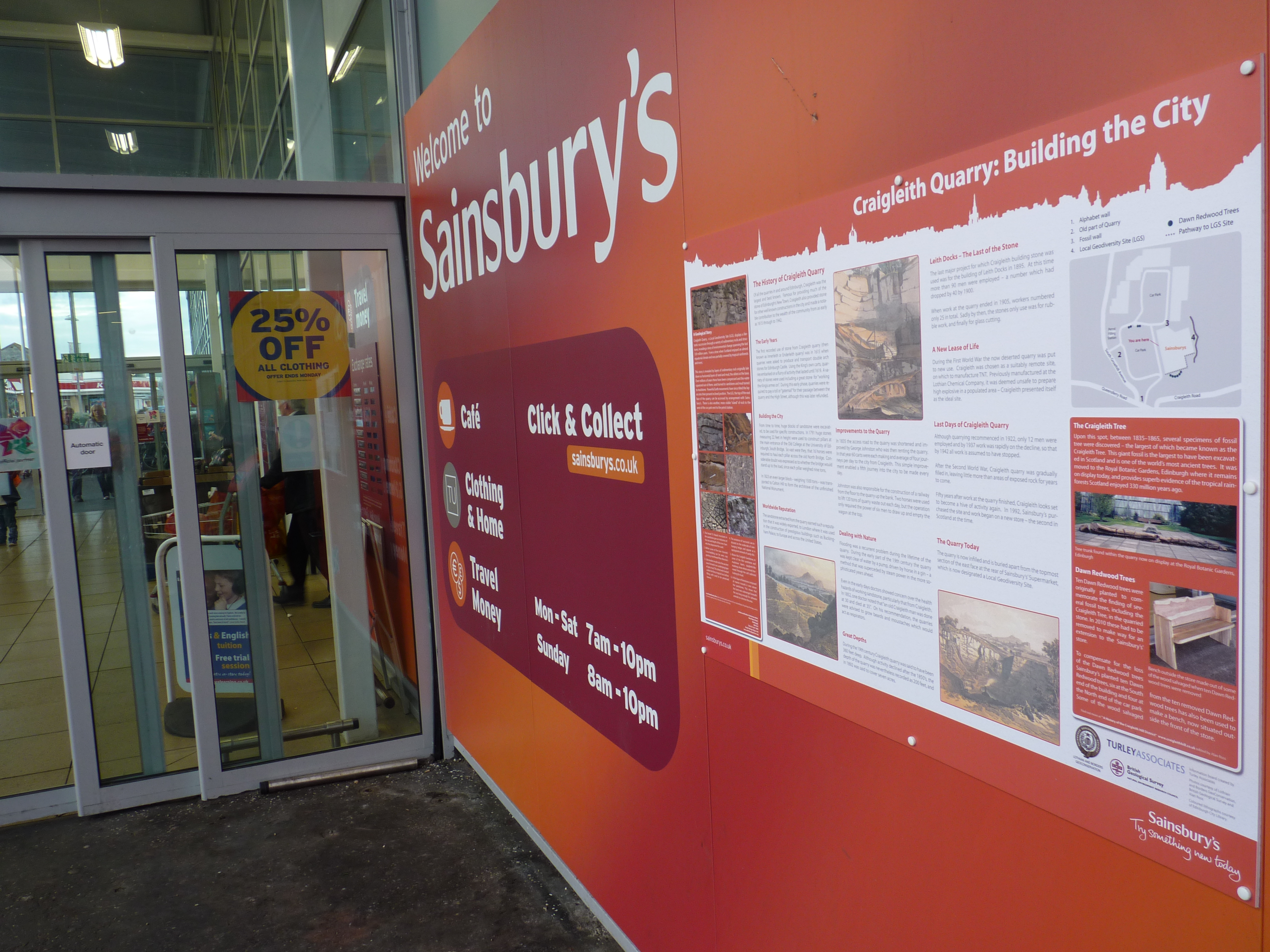
An information board has been erected outside the main entrance into Sainsbury's, giving the location of
all the historical items. To help find the locations, there is a "you are here map".
Permission to access the RIGS site at the back of Sainsbury's can be obtained by checking in at Sainsbury's information desk.
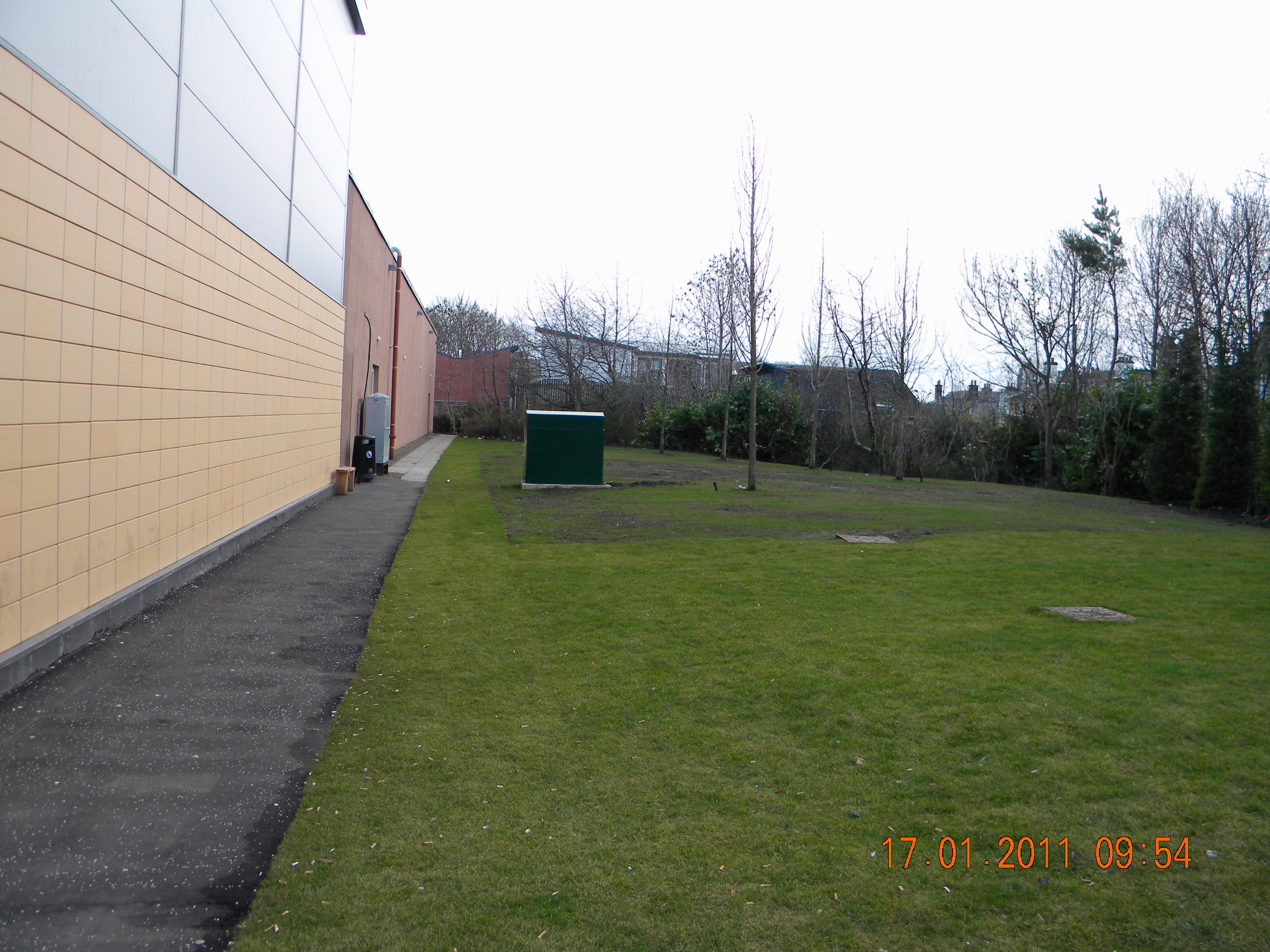
The above photograph shows the start of the path at the north end of Sainsbury's store.
The pathway is approximately 500 yards (457 metres)
and takes you to the back of the store. There you can examine the remaining upper exposed section of strata, containing remnants of the famous
Craigleith Sandstone beds, as well as other rock types such as shale and limestone,
as well as remains of fossil trees, fossil shells and glacial polished rocks.
The photographs below show the Eastern face of the Quarry showing massive sandstone
at the North end to shale with thin sandstone layers at the Southern end.

